


Google plans to map the entire ocean floor over next five years
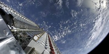
$3million on satellite technology Google is set to track the world's warships and make the data available to billions of internet users, raising concerns over the security of the American naval fleet.The search engine plans to offer the coordinates and identity of virtually all vessels at sea on Google Maps after spending around $3million on satellite technology.The company continues to consult with the U.S. Navy over the plans, as well as with the defence departments of countries around the world.Google has claimed that it is better placed to track the military boats than most governments.Ship-shape: Google will soon be able to show the location of every vessel at sea and maps of the ocean floorMichael Jones, who is chief technology advocate at Google Ventures, told Aol: 'I watch them and they can't see themselves. It angers me as a citizen that I can do this and the entire DoD can't.'Google is not the first to track ships at sea, but claims to have improved on previous technology.All large vessels are fitted with the Maritime Automatic Identification System (AIS) - a series of transponders that transmit the boat's position to avoid collisions when it is dark or there is bad weather.At ...
Read more


